
Description
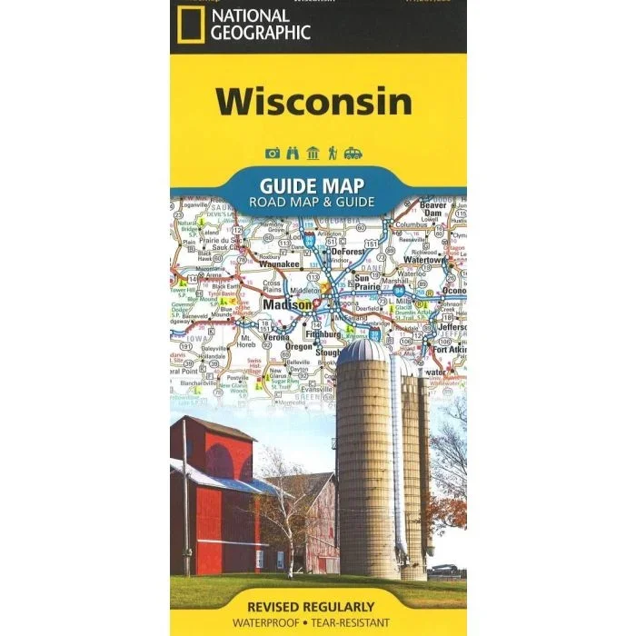
National Geographic”s Wisconsin Guide Map provides travelers with the perfect combination of detail and perspective in a highly functional travel tool. Cities and towns are clearly indicated and easy to find in the user-friendly index. A complete road network of highways, tollways, and other roads, along with distances noted in miles for major highways, will help you find the route that”s right for you. National and state parks, public campsites, visitor information centers, airports, ski areas, hospitals, and more are noted as well. A chart of park service sites and climate information will be particularly helpful to travelers taking in the many outdoor activities in Wisconsin. Inset maps of the cities of Madison, Milwaukee, Superior, Appleton, Oshkosh, Racine-Kenosha, Milwaukee, Green Bay, and Eau Claire provide greater detail of these urban centers. A handy combination of map and guidebook, this map is also loaded with information on varied points of interest including St. Croix National Scenic Riverway, Apostle Islands National Lakeshore, and Great River Road, a scenic byway along Route 35 between La Crosse and Prairie du Chien.



Reviews
There are no reviews yet.