
Description
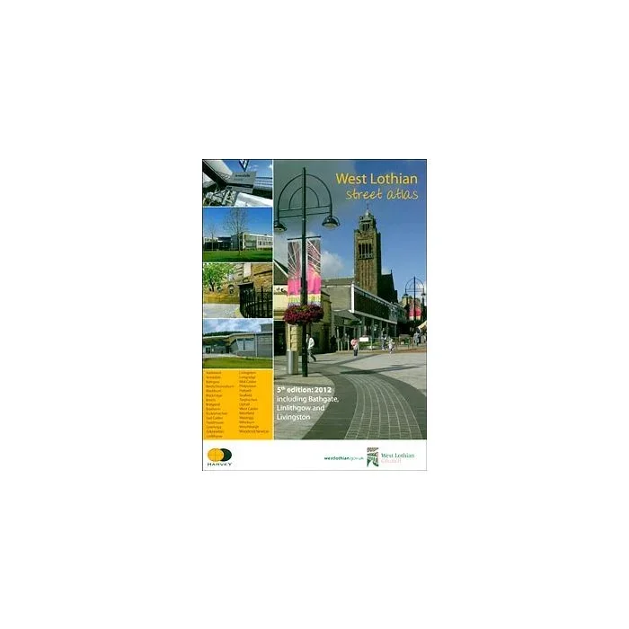
Selected residential areas within the West Lothian Unitary Council presented in a 49-page, handy size paperback street atlas from Harvey Map Services. Each area indicated on our coverage image is presented separately with an accompanying index. The street maps use colour to indicate main traffic arteries and different types of land use (shopping centres, sport facilities, industry, public parks, etc). Symbols highlight various facilities and services (tourist attractions, hotels, community centres, libraries, campsites and caravan parks, car parks, etc). Additional pages show the whole region with its recreational facilities, including detailed maps of the Beecraigs, Almondel and Polkemmet County Parks, plus lists of recycling centres, useful addresses, etc. Coverage includes Livingston, Linlithgow and Bathgate, plus Addiewell, Armadale, Bents/Stoneyburn, Blackburn, Blackridge, Breich, Bridgend, Broxburn, East Calder, Fauldhouse, Greenrigg, Kirknewton, Longridge, Mid Calder, Philipstoun, Polbeth, Seafield, Torphichen, Uphall, West Calder, Westfield, Westrigg, Whitburn, Wilkieston, Winchburgh, Woodend/Newton. Current edition of this title was published in 2012.
Reviews
There are no reviews yet.