
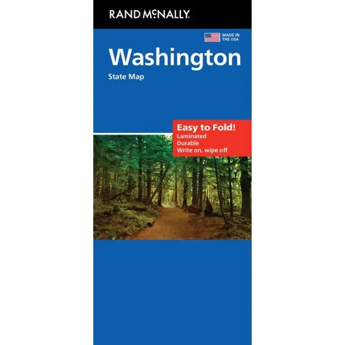
Description
Washington State on a laminated and waterproof Easy-to-Fold map from Rand McNally, the country’s leading publisher of road maps and street plans. For clarity of road information Rand McNally state maps present the road network on a plain background, with no or little topographic detail. Driving distances are indicated on all principal highways and on many local routes. National or state parks and other protected areas, Indian Reservations and restricted entry military zones are highlighted and symbols indicate campsites, rest areas, various places of interest, etc. Each map shows local administrative boundaries with names of the counties, is indexed and gives geographical coordinates as margin ticks usually at 1° intervals. Rand McNally state maps are available in two formats: double-sided Easy-to-Read maps with numerous enlargements for cities and/or most visited areas, and laminated Easy-to-Fold maps in a more handy format but with smaller print. TO SEE THE LIST OF RAND McNALLY STATE MAPS PLEASE CLICK ON THE SERIES LINK.
![Rhineland-Palatinate · Saarland [10] Marco Polo Regional Map | 1:200,000](https://www.urbanfluxmart.com/wp-content/uploads/2025/12/rhineland-palatinate-saarland-10-marco-polo-regional-map-1-200-000-nflsllac87661.webp)
Reviews
There are no reviews yet.