
Description
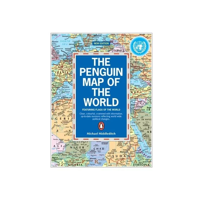
Political Map of the World from Penguin in a folded format at 1:35,000,000, including principal railway lines, main shipping routes with distances, a time chart with differences to GMT, and a panel of country flags, etc. The map shows countries in bright colours against pale blue oceans. Country names are in English but city names are in their original versions (Moskva, Beograd, Al Qahirah) with the English equivalent added in brackets in most but not all such cases. In Canada and Australia the map shows internal administrative divisions and names of provinces/states. On land main railway lines are marked and on the oceans major shipping routes are annotated with distances between the ports. There is no relief shading but major swamp areas are marked. More names of geographic features such as mountain ranges, deserts, etc, are provided than is found on world maps of similar size, making this title look rather too “busy” in places. Latitude and longitude lines are drawn at intervals of 15°. Projection is Gall’s modified. Below the map is time line indicating difference to the Greenwich Mean Time, plus a colourful panel of country flags.

Reviews
There are no reviews yet.