
Description
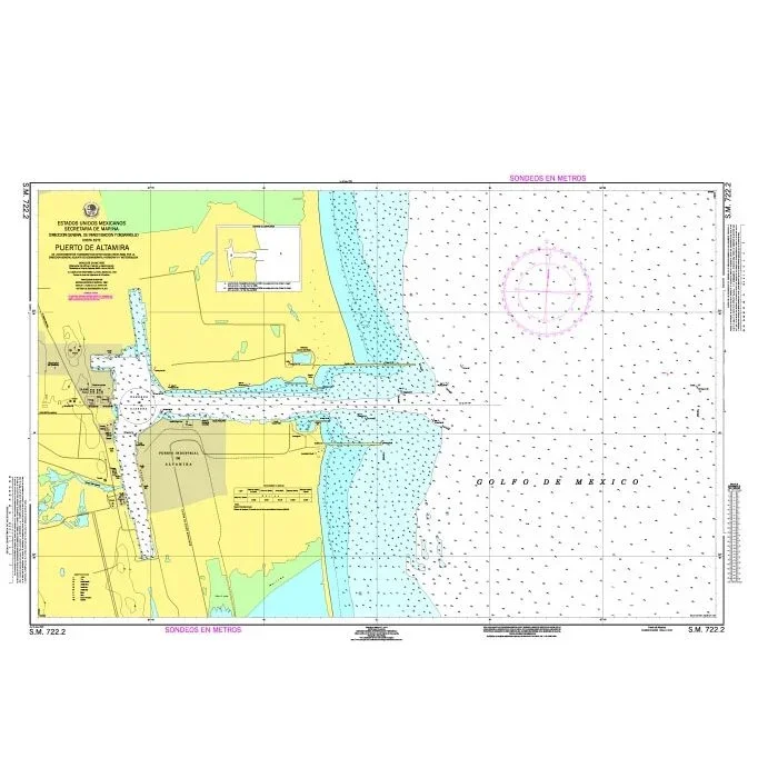
Official Mexican Hydrographic Office charts (SEMAR – Secretaría de Marina Armada de México) offer a great range of scales for ports along the Mexico Gulf and Mexico”s Caribbean coast. Available to order from Stanfords.
Also available:
– General and Regional charts of Mexico
– Charts for ports along the Pacific coast of Mexico
For more information, please email [email protected] .
Reviews
There are no reviews yet.