
Description
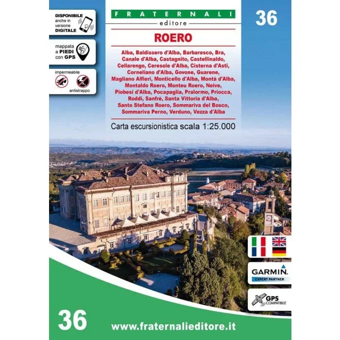
Modern, precise, user-friendly mapping by Fraternali Editore of the western Italian Alps at 1:25,000 scale, in a series of large, contoured and GPS compatible walking maps, printed on waterproof and tear-resistant synthetic paper. Maps in this series have topography shown by contour lines at 5m intervals with relief shading, spot heights, and exceptional detailing. The maps have a 1km UTM grid, and include the following:
• Excursion information: shelters, bivouacs, unmanned refuges, climbing walls, equipped areas, places of interest, dangerous passages, etc
• Cartographic legends, entirely translated in English, French, German
• Specific elements such as fountains, piles, crosses, access restrictions, caves etc
• Ski-alpine and mountain bike runs
• Primary and secondary path network
• Land typology: woodlands, glaciers, stony grounds, lakes, rivers, canals etc
• National, regional, provincial, local borders, national parks
• Curves of 50m, 10m, 5m equidistance
• Buildings, industries, churches, cemeteries, military buildings, fortifications
• Complete toponymy
• Complete finely graded road network, highway exits, railway network and stations
The maps have a metric grid shown in a frame according to the UTM WGS84 projection. On waymarked footpaths the maps show official route numbers or initials of long-distance trails such as the GTA (Grande Travesata delle Alpi). Other local paths are also marked and the overprint shows Via Ferrata climbing sections, climbing sites, and selected ski touring routes.
To see other titles in this series please click on the series link.

![Jiri – Pikey Peak – Dudhkunda-Everest | Map House Nepal Trekking Map | 1:125,000 [NE505]](https://www.urbanfluxmart.com/wp-content/uploads/2025/12/jiri-8211-pikey-peak-8211-dudhkunda-everest-map-house-nepal-trekking-map-1-125-000-ne505-ggtvjetu07466.webp)
Reviews
There are no reviews yet.