
Description
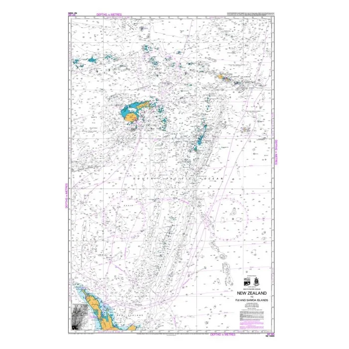
Nautical charts for New Zealand, created by Land Information New Zealand (LINZ), are printed on demand at Stanfords after your order is placed and processed. They provide a detailed coverage of the coastline with a varied range of scales – from overall route planning to detailed harbour charts.
Notices to Mariners are available via this link.
Source: Land Information New Zealand (LINZ) and licensed by LINZ for re-use under the Creative Commons Attribution 4.0 International licence.

Reviews
There are no reviews yet.