
Description
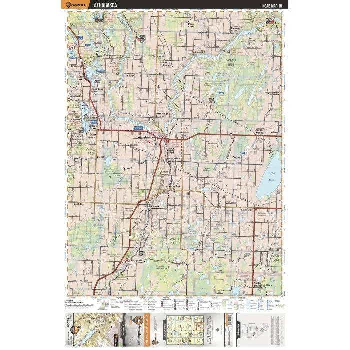
This recreation topographic map for the Athabasca area highlights all the logging and resource roads, multi-use trails for hikers, mountain bikers, horseback riders, cross-country skiers and snowshoers, motorized trails for ATVers and snowmobilers, fishing lakes and rivers, recreation areas, campgrounds, day-use areas, viewpoints, backcountry campsites, work camps, backcountry huts and cabins and more. No other map for the area provides you with this level of recreational or topographic detail. Special features include private land, labelled fish species and countless new roads, trails and recreational Points of Interest. This map also features enhanced oil & gas resource information, more detailed water features and seismic line corridors. Covering 1,268 km2 (490 mi2), this 1:85,000 scale map measures 96 x 127 km (59.5 x 79 mi). Included on the map are Athabasca, White Gull, Island Lake, Baptiste Lake, Perryvale, Kinikinik, Athabasca River, Flat Lake, Amber Valley, Tawatinaw River and more!
![Jiri – Pikey Peak – Dudhkunda-Everest | Map House Nepal Trekking Map | 1:125,000 [NE505]](https://www.urbanfluxmart.com/wp-content/uploads/2025/12/jiri-8211-pikey-peak-8211-dudhkunda-everest-map-house-nepal-trekking-map-1-125-000-ne505-ggtvjetu07466.webp)
Reviews
There are no reviews yet.