
Description
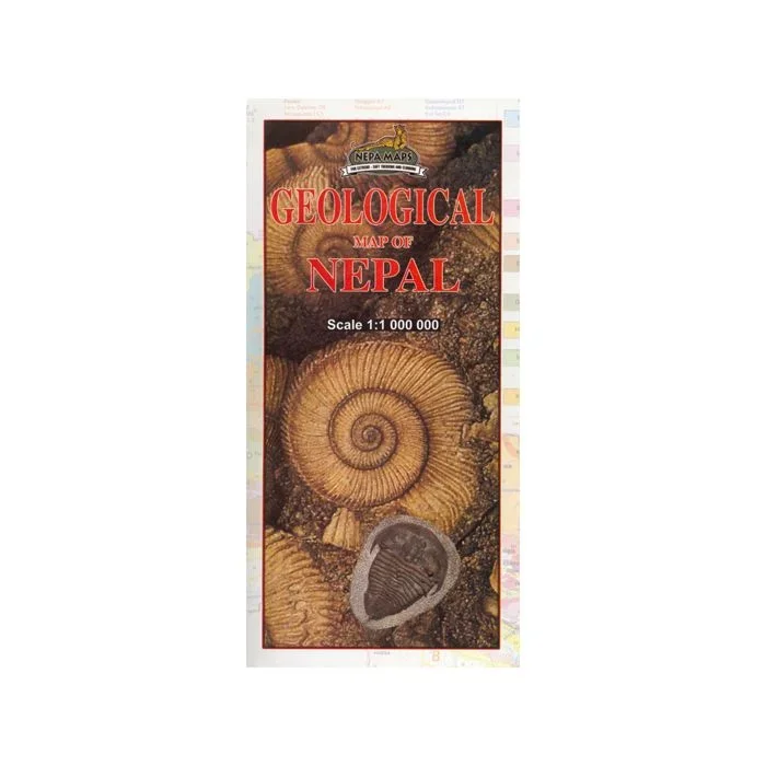
Geological map of Nepal from Nepa Maps, presenting the country on a base map with numerous peaks and passes, main towns, districts and the road network. The legend, all in English, divides the information into geographical groups: Siwalik, Surkhet, Mid Land, Kathmandu, Jaljala, Dadeldhura and Himal, each sub-divided into sub-groups and formations. Also included are five cross-section diagrams across different parts of the country. The map has latitude and longitude margin ticks at 1° intervals and an index listing districts, towns, peaks, passes and lakes.


Reviews
There are no reviews yet.