
Description
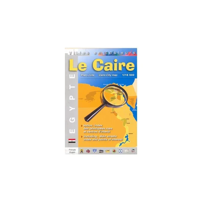
Cairo Street Plan from Editions Laure Kane, a colourful and informative map for visitors to the city, highlighting main places of interest, locations of various trades within the Khan el-Khalili bazaar, selected hotels, etc. The plan covers the city’s central districts. extending from the Marioutya Canal in the west to include the University district across to the Citadel, the Khan el-Khalili bazaar and the el-Azhar University in the east, but also includes the Sinai bus terminal beyond it. North/south coverage is from the Inbaba bridge across the Nile to the Coptic churches and museums of Old Cairo. Metro stations are prominently marked and various places of interest are named and/or highlighted by symbols: selected hotels, youth hostels, museums and monuments, mosques and other religious buildings, markets and shopping centres, etc. Within the famous Khan el-Khalili bazaar symbols indicate locations of various trades. Names of public institutions, etc. are given in French. The plan is indexed and its map legend includes English. Also provided is a plan showing the pyramids and other monuments at Giza, plus a small map of the environs of the city extending south to the Fayoum Oasis.
![Crete, Greece [R6] Anavasi Regional Road Map 1:280,000](https://www.urbanfluxmart.com/wp-content/uploads/2025/12/crete-greece-r6-anavasi-regional-road-map-1-280-000-mdzgayez23690.webp)
![Karpathos – Kasos, Greece [345] Terrain Editions Island Hiking Map 1:30,000](https://www.urbanfluxmart.com/wp-content/uploads/2025/12/karpathos-8211-kasos-greece-345-terrain-editions-island-hiking-map-1-30-000-zulqnskr17749.webp)
Reviews
There are no reviews yet.