
Description
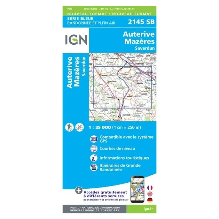
Topographic survey of France at 1:25,000 in IGN’s excellent TOP25 / Série Bleue series. All the maps are GPS compatible, with a 1km UTM grid plus latitude and longitude lines at 5’ intervals. Contours are at 5m intervals except for mountainous areas where the maps have contours at 10m intervals, vividly enhanced by hill shading and graphics for rocky terrain. Colouring with graphics indicates different types of vegetation or land use (deciduous or coniferous forests, moors, orchards, vineyards, etc). Please note coverage of France at this scale is always being revised. Format and the presentation of each title are indicated by the letters at the end of its sheet reference (e.g. 0416ET, 3531ETR, 1923SB, etc.) Maps with full tourist overprint and an English map legend: All these maps and the SB editions of Série Bleue have an overprint highlighting waymarked walking trails including long distance GR routes and, where appropriate, ski routes. Symbols indicate campsites, gîtes d’etape, refuges, equestrian centres and other recreational facilities or sites, tourist information centres, cultural heritage, etc.. Towns and locations of particular interest are highlighted. – ET or OT, single-sided covering 29x21km. – ETR or OTR, resistant to water and tearing, double-sided, smaller size sheet. – SB, Série Bleue map with full tourist overprint, coverage 29x24km. Série Bleue maps with numbers ending in E (East) or O (West): most editions now indicate the GR routes but do not show any other tourist information. Map legend is in French only. Each map covers approx. 14x20km / 9×12 miles. To see all the titles click on the series button.



Reviews
There are no reviews yet.